
Our area
Our Local Area
Two villages, one old parish, and a good deal more history than a place this size has any right to. Here is what we know, and a few things we would still like to find out.
Local businesses
Businesses run by people who live and work in the parish. There is no charge to be listed, and any local business is welcome to be included, so if yours is missing please get in touch.
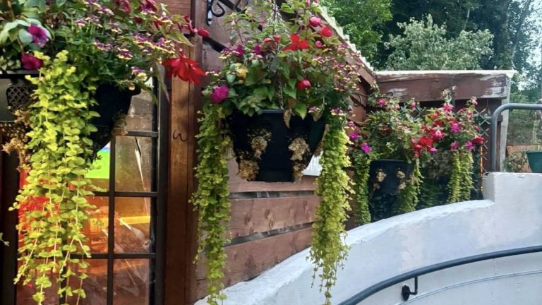 The Murray Arms & Thai OrchidThe village pub and Thai restaurant in the heart of Dalton, serving authentic Thai cooking alongside a fully stocked bar.Find out more
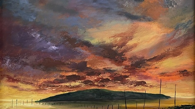 Grahame Young ArtSeascapes of the Solway, painted and framed in a small studio at Breconridge, Dalton, and open to view by appointment.Find out more
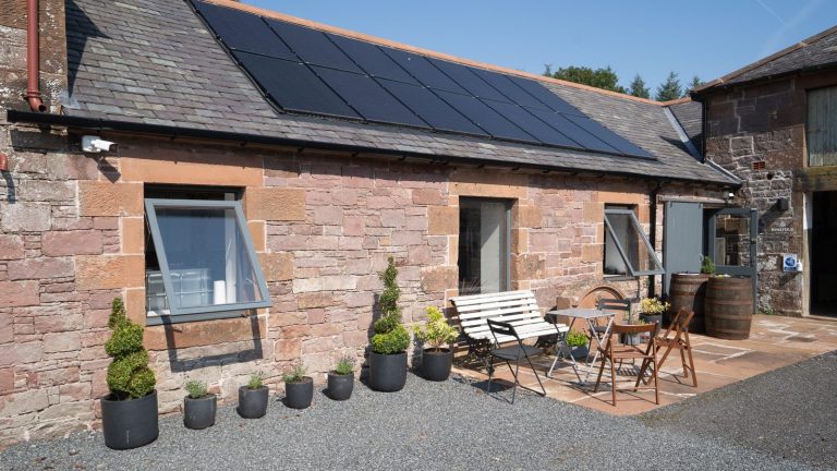 Ninefold DistilleryThe first and only rum distillery in the South of Scotland, making rum from scratch in a converted byre on the Dormont Estate.Find out more
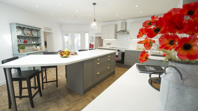 Smithy HouseThe old smithy and village Post Office in Carrutherstown, now a holiday let that sleeps up to nine, with a hot tub and a welcome for dogs.Find out more
Our Primary School
Discover more about our local primary school, a valued part of our community providing a welcoming environment where children learn, grow and thrive.
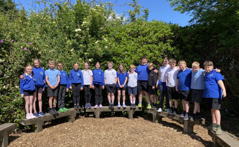 Carrutherstown Primary SchoolCarrutherstown Primary School is a small, rural school with a big heart and a strong sense of family. We are very proud of ourFind out more
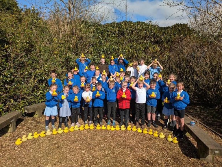 Carrutherstown Primary Parent CouncilWelcome to the Carrutherstown Primary Parent Council! We are a group of parents and carers who work together to support Carrutherstown Primary School, ourFind out more
Places to go and see
Some of the places in the parish worth going to look at. If you know somewhere that belongs here, please tell us.
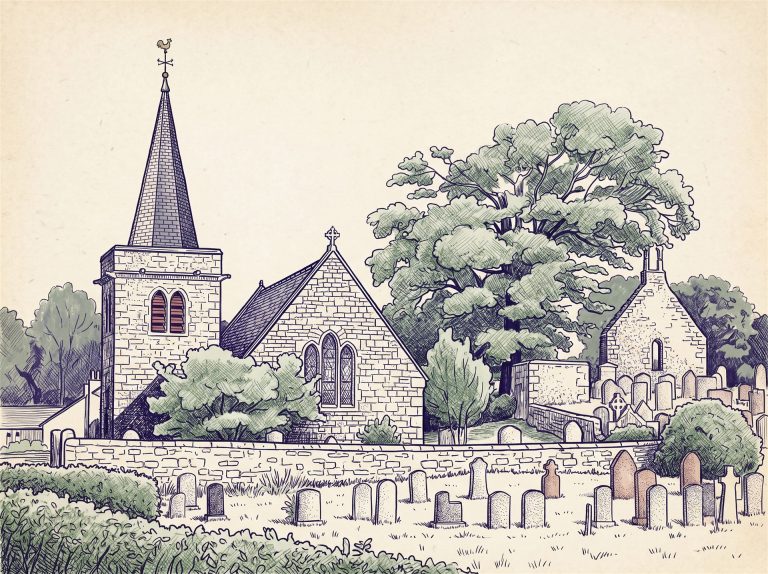 Little Dalton KirkA roofless kirk of the 13th century standing alone above the burn, one of only three pre Reformation churches left in any substance in eastern Dumfriesshire.Find out more
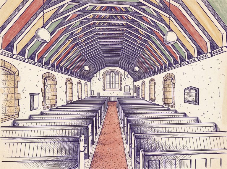 Two churches, forty metres apartThe roofless parish church of 1704 and the Victorian church that replaced it stand within sight of each other in the middle of Dalton village.Find out more
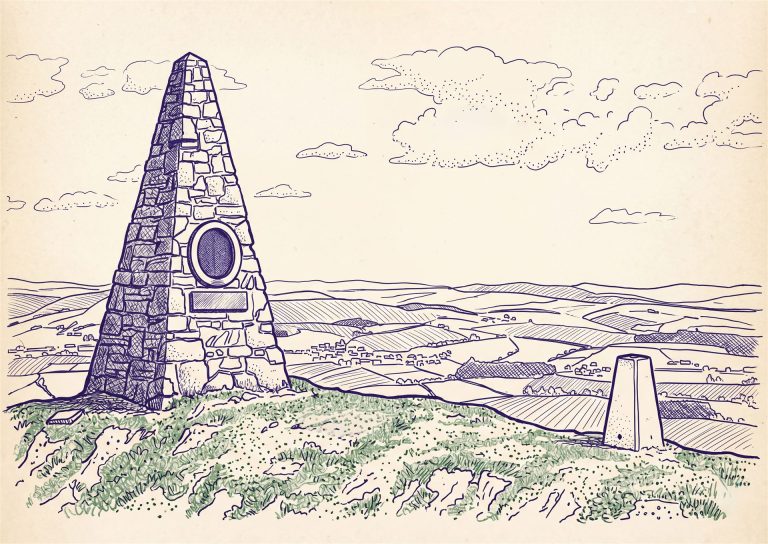 Joe Graham’s MonumentA steep stone pyramid on the summit of Almagill Hill, raised in 1896 to a huntsman of the Dumfriesshire Foxhounds and visible for miles.Find out more
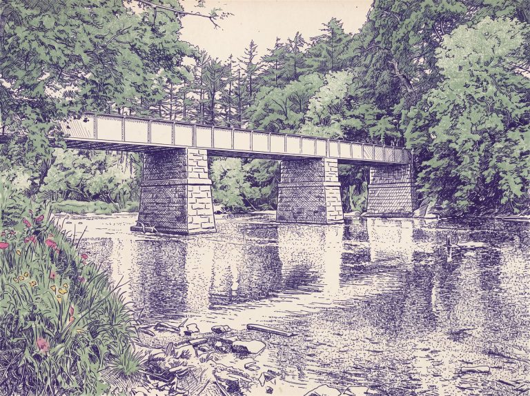 Williamwath BridgeThree riveted iron spans on red sandstone piers carry the Lochmaben road over the River Annan, built by the Stevenson family of lighthouse engineers.Find out more
Two villages, one parish
Dalton stands on the Dalton Burn on the B7020, about four miles south of Lockerbie and eight or nine miles south east of Dumfries. Carrutherstown lies to the south west of it on the A75, the Dumfries to Annan road that carries the Cairnryan and Stranraer ferry traffic past our door at all hours. Both villages sit in the civil parish of Dalton, which covers about 28 square kilometres and is bounded to the north and north east by the River Annan.
The parish is itself two older parishes joined together, Meikle Dalton, also called Great Dalton, and Little Dalton. Parliament united them in 1609. James VI separated Little Dalton and attached it to Mouswald in 1615. In 1633 the two were reunited for good under Meikle Dalton, and Little Dalton’s kirk fell out of use from that year. That is why one church stands roofless in a field a mile and a half away while the other stands in the middle of the village.
730 at its peak
The parish population in 1831. It was 691 in 1801 and 579 by 1881. Today the two villages together are home to around 333 people.
Two ancient parishes
Meikle Dalton and Little Dalton, united in 1609, separated in 1615 and joined for good in 1633.
No station, ever
The parish never had a railway of its own. Anyone writing about a Dalton railway is thinking of a different Dalton.
The long fall from 730 people to around 330 is the ordinary story of rural Annandale. Farming improved and needed fewer hands, and no railway or industry arrived to take up the slack. The 1840s account of the parish describes its produce going to Annan, seven miles away, where there was a weekly market.
More to discover
The parish carries thirty entries on the statutory list of buildings, from Denbie House and its Category A dovecot down to Rose Cottage and Thistle Cottage in the village, the old schoolhouse, Manse Bridge and Flosh Bridge. A few other things are worth knowing about.
The village pillar
A plain four sided stone post, 6 feet 5 inches high, stands in the middle of Dalton. The Ordnance Survey mapped it as “Cross” in 1856, then concluded in 1967 that there was no evidence it had ever been one. Dumfries Museum’s view was that it did duty as the village market cross around 1760 without ever having been a carved cross. There are half a dozen small hollows on its south face that may be prehistoric cup marks. Nobody has settled it, and we rather like that.
A conservation area
The core of Dalton village is a designated conservation area, reference CA490, covering just 3.58 hectares around the churchyard and the main street. It is one of thirty six in Dumfries and Galloway. Carrutherstown is not designated.
Dalton Pottery
For more than thirty years the pottery at Meikle Dyke was one of the better known places to visit in this corner of the region, latterly as a paint your own pottery and art café. Fire crews from Annan, Lockerbie and Dumfries were called to it on 17 December 2015. The building was badly damaged and the pottery did not reopen.
Just beyond our boundary
These are not in our parish, but they are close enough to be a good afternoon out, and visitors often assume they are ours:
- Repentance Tower and Hoddom Castle, over the hill in Cummertrees parish
- the Ruthwell Cross, one of the great Anglo-Saxon monuments of Europe, and the Brow Well nearby
- Comlongon Castle and Caerlaverock Castle towards the Solway
- Lochmaben Castle, to the north
- Thomas Carlyle’s birthplace at Ecclefechan
Help us fill the gaps
Putting this together raised as many questions as it answered, and most of them are the sort only a resident can settle. If you can help with any of these, we would be glad to hear from you:
- Carrutherstown’s own history. We could find no published account of when the village took its present shape, and no historic photographs of it at all.
- The village hall. No date of building, no builder, nothing on record.
- The Jo Graham ride-out. When did it begin, and has it been held since 2010? Only 1961 and 2010 are documented.
- The war memorials. Nationally, only the two rolls of honour inside the church are recorded. If there is a memorial standing in the village, it is unlisted and ought to be.
- Old photographs of either village, and the names of the families in the kirkyard.
The historical detail here is drawn from Historic Environment Scotland’s designation records, the National Record of the Historic Environment, 19th century gazetteers and topographical accounts of the parish, and the Imperial War Museums War Memorials Register. Where the sources disagree or a claim could not be confirmed, we have said so rather than pick the tidier version. If you spot something wrong, please tell us.